Now live in Christchurch

See what can be built
on any site, in seconds

Feazo generates residential layouts that follow district plan rules, assesses yield, and exports professional reports. Feasibility that took weeks now takes minutes.

Millions of layouts tested per site
< 2 min from address to designs
DXF + PDF production-ready export

Feasibility is expensive, slow,
and doesn't scale

Weeks of waiting

A bulk and location study means consultant back-and-forth, days of drafting, and weeks of lead time before you know if the site is even viable.

Fees on dead ends

Most sites don't stack up. You still pay full feasibility fees to find that out, on every site you rule out.

One site at a time

Manual feasibility can't screen a street, let alone a suburb. The opportunities go to whoever can check the most sites, fastest.

Feazo removes the bottleneck. Run the feasibility before you commit.

Buildable site plans
in two minutes

Our geometric optimisation finds the hidden unit competitors miss.

01

Select a site

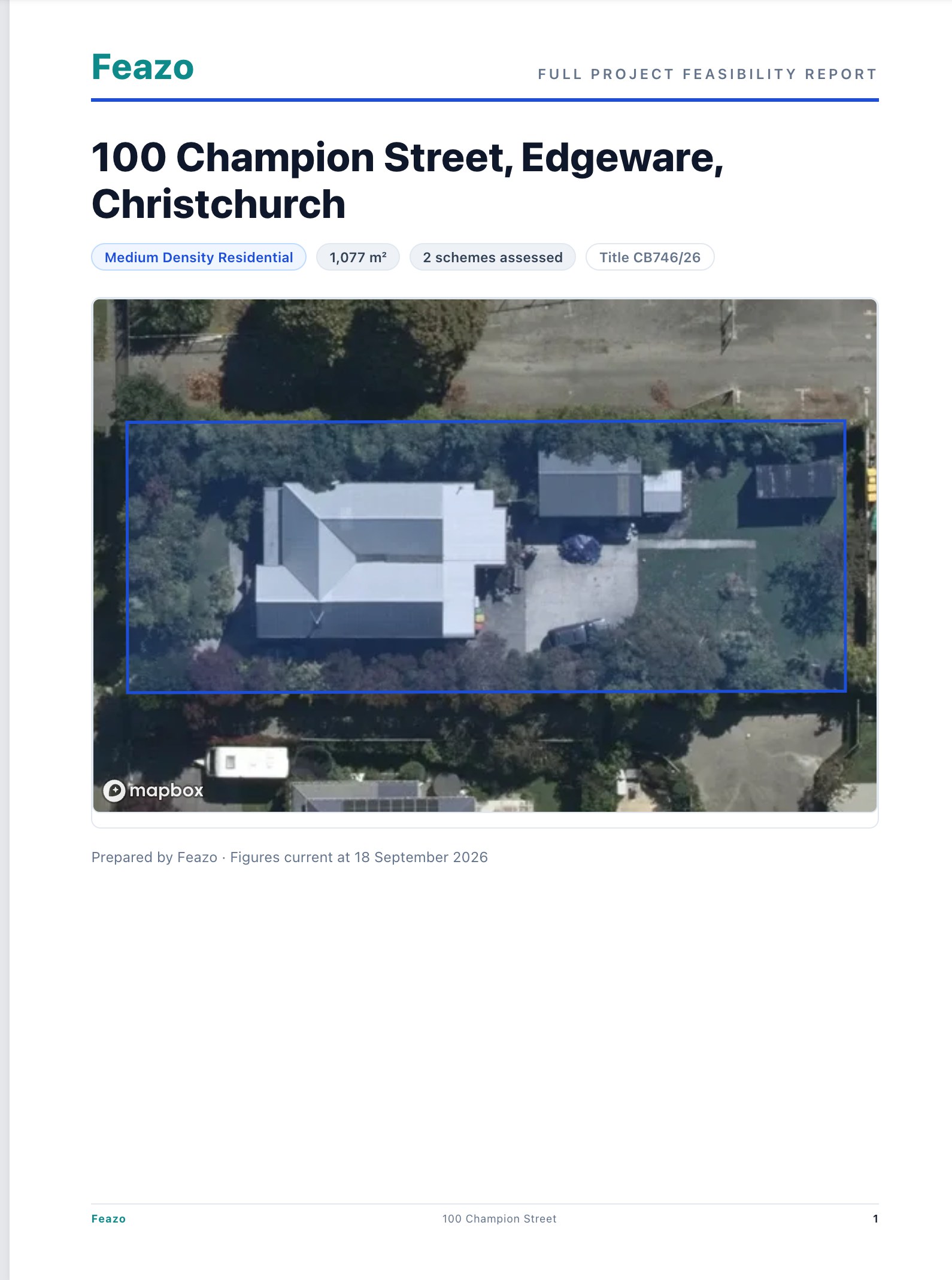
Search an address. We pull parcel boundaries, zoning, and the full set of built-form standards: setbacks, recession planes, height limits, site coverage, and more.

02

Configure design

Choose your building type: stand-alone, duplex, attached townhouses. Set bedroom counts and design parameters.

03

Generate designs

Our solver tests millions of combinations, applying built-form standards to discover the densest viable layout, placing units one by one.

04

Visualise & export

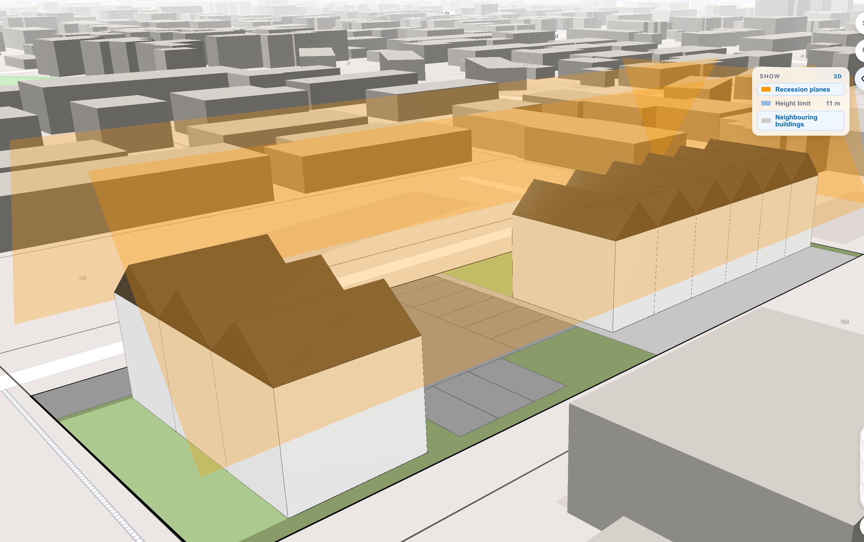
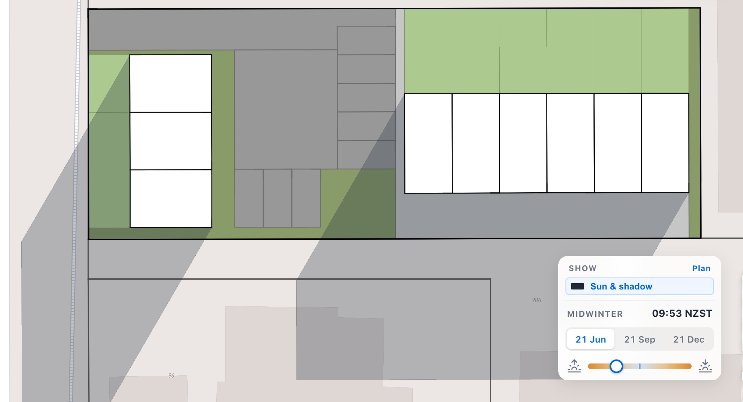
Explore designs in 3D, verify sunlight access, and check every design against recession planes and height limits. Export production-ready DXF or PDF in one click.

Built for the people who
build New Zealand

Evaluate more, spend less

Property Developers

Choose dwelling sizes, check yields, and view infrastructure, planning overlays, site dimensions, and zoning before committing to a full feasibility.

Prospect and present

Real Estate Agents

Screen entire suburbs for development potential. Generate site plans for marketing collateral and walk into listing appointments with data buyers want.

Skip the blank canvas

Architects

Start from a baseline with built-form standards, GIS data, contours, and site dimensions already applied. Export DXF files, reconfigure, and refine with your expertise.

Show potential fast

Planners

Demonstrate site potential to clients before engaging an architect. We're also building tools to check drawings against built-form standards for quick preliminary reviews.

Understand upzoning impact

Councils

Model development potential across entire blocks and zones. Analyse how upzoning may impact demand for infrastructure upgrades, roading, and services capacity.

Trusted by developers, agents,
and architects

Bulk and location used to take half a day plus two days lead time. Now it takes minutes.
I went through every site I'm watching on TradeMe in one evening. Before Feazo each one would've cost me consultant fees and at least a week just to find out if it's even viable. Complete game changer.
I've been testing Feazo and honestly can't wait to use it on my listings. Being able to show buyers what's achievable on a parcel of land will give me a huge advantage.

Common questions

Where does Feazo work today?

Christchurch. The district plan's residential zones and built-form standards are built in, including setbacks, recession planes, height limits, site coverage and outdoor living space. More councils are on the roadmap, so tell us where you need coverage when you request access.

Do the designs follow planning rules?

Every layout is generated against the district plan's built-form standards, and each design comes with a compliance report you can check element by element. Treat it as preliminary assessment to guide your next step. Always verify with council and your consultants before committing.

Does this replace my architect or planner?

No. Feazo tells you in minutes whether a site is worth pursuing and roughly what fits, so your architect starts from a real baseline instead of a blank page. Export the DXF and hand it over.

Where does the property data come from?

LINZ parcel and title geometry, council GIS zoning and planning overlays such as flood hazard and technical categories, road hierarchy, valuations and market data. Everything is assembled automatically when you select a site.

How do I get access?

Feazo is in a paid pilot. Request access below and we'll be in touch. We review every request and onboard in small cohorts so each customer gets direct support while we grow coverage.

Ready to see what your
sites can yield?

Request access to the pilot. We review every request and onboard in small cohorts.

Prefer to talk first? Book a live walkthrough